|
 Interstate Numbering System and How to Decode it


|
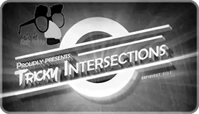
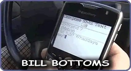
HERE ARE SOME SAMPLE VIDEOS FROM COURSE
WE ALSO INCLUDE BONUS COMEDY BREAKS AND 3D VIDEOS AND IMAGES

FINISH FAST
Shortest Course Available

DRIVING RECORD
Certified Records Available

EASY ONLINE PAYMENT
Multiple Online Payment Options

CUSTOMER SERVICE
We Love To Answer Your Questions

USE ANY DEVICE
Watch On Your Schedule

AWARD WINNING COURSE
ABOUT COMEDY SAFE DRIVER
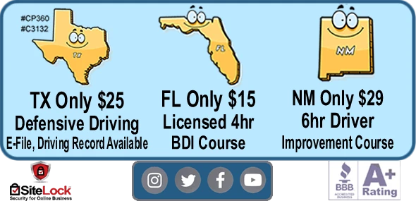
We have taught over 100,000 students since 2005. For over 15 years, our online course has added fun and entertainment to defensive driving. Licensed in Texas and New Mexico, we guarantee you will receive a completion certificate that dismisses and/or reduces points on your driving record. Not only is our course entertaining, it is educational and interesting.
Our comedy course is designed for you to complete it in the fastest possible time. Any page with text is narrated, so reading is not necessary.
Security Policy | Privacy Policy | Refund Policy | Terms of Service | Contact Us | FAQs | Student Login
"ComedySafeDriver.com" and logo are federally registered service marks of Comedy Safe Driver
2022 © COMEDY SAFE DRIVER. All Rights Reserved.